


The province of Khyber Pakhtunkhwa (often called KPK) in western and north western Pakistan, near the border with Afghanistan includes areas near the Khyber Pass linking Peshawar in Pakistan with Jalalabad in Afghanistan. PKK is famous for its mountains, valleys and historic sites.
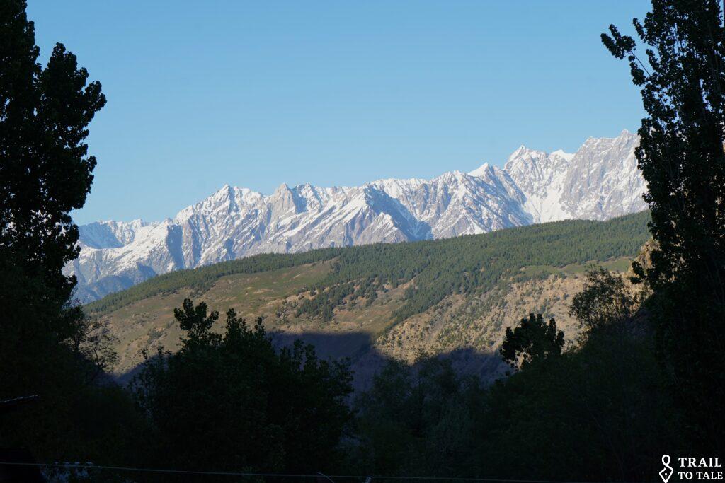
Peshawar is the capital city, one of the oldest cities in South Asia Peshawar is known for its rich history, traditional markets, Pashtun culture, and strategic importance in regional trade and politics.
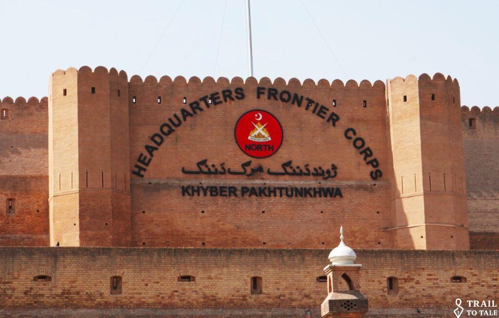
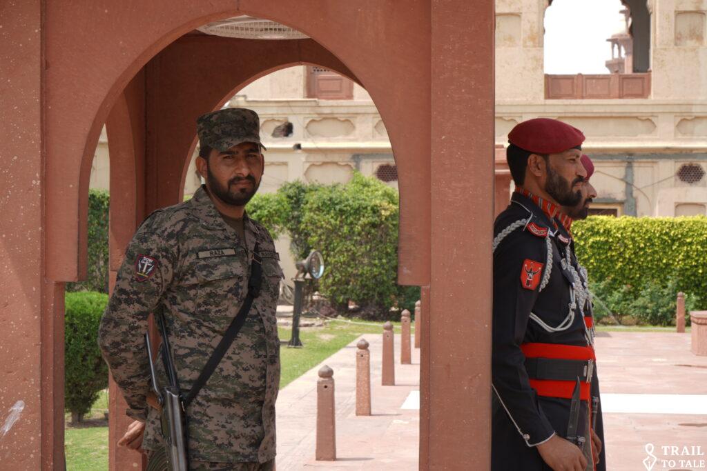
In general PKK is also more traditional and security is more visible.
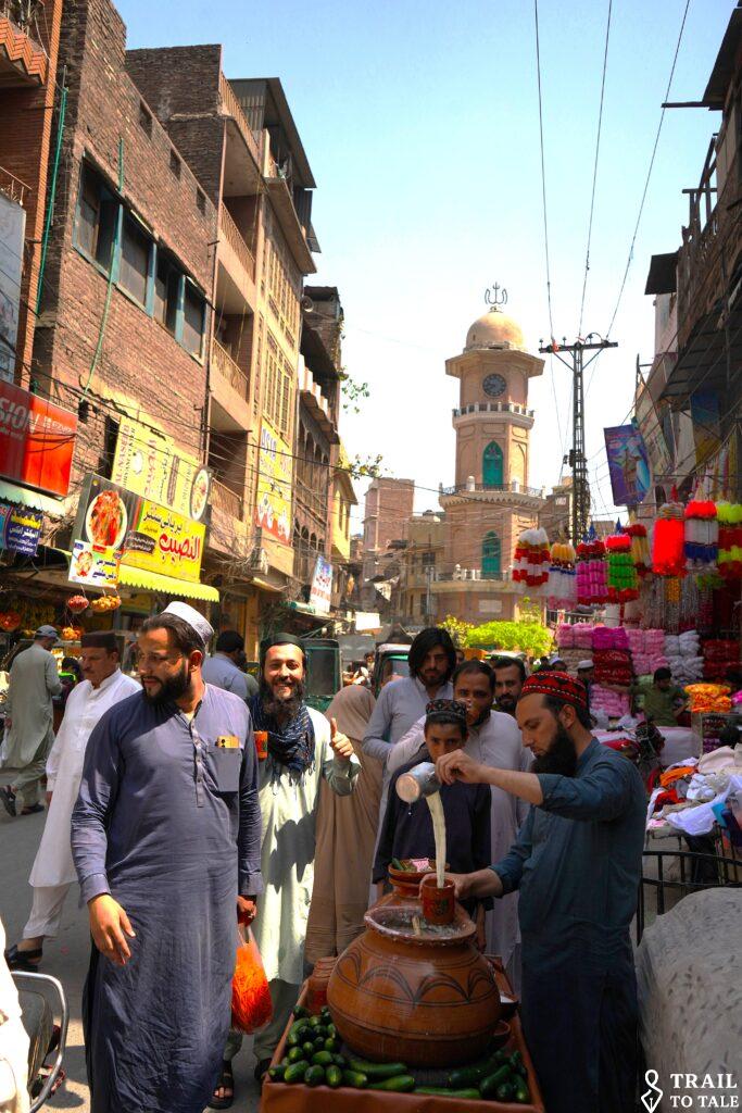
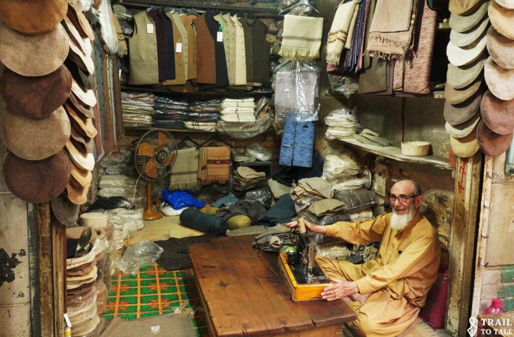
The old part of town
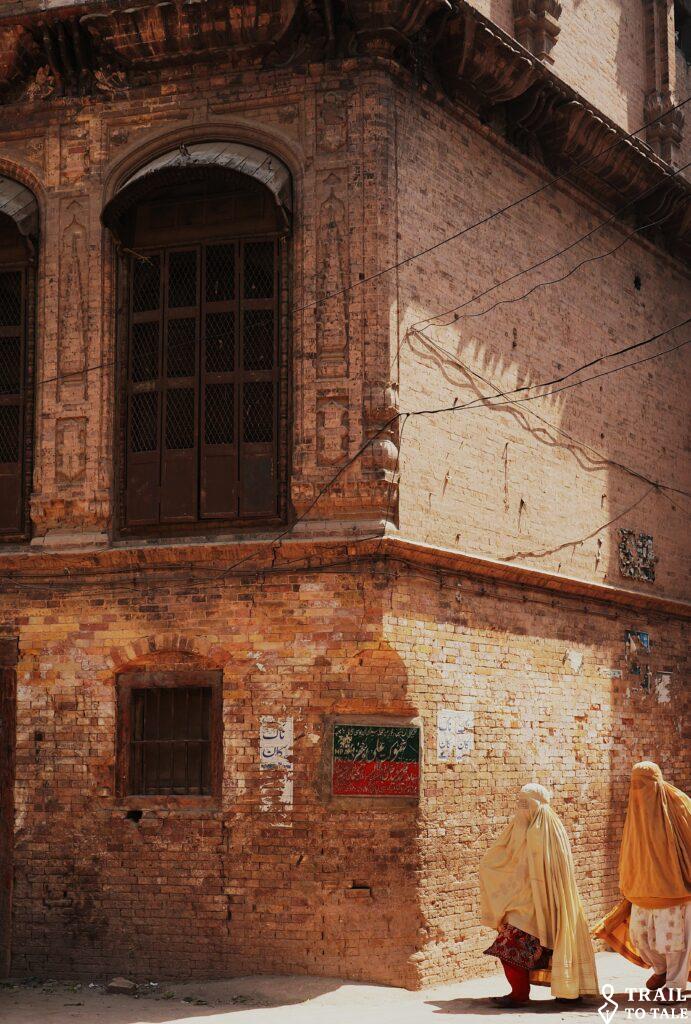
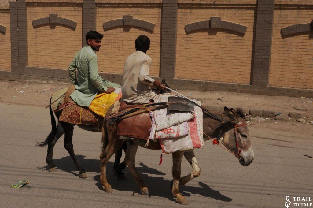
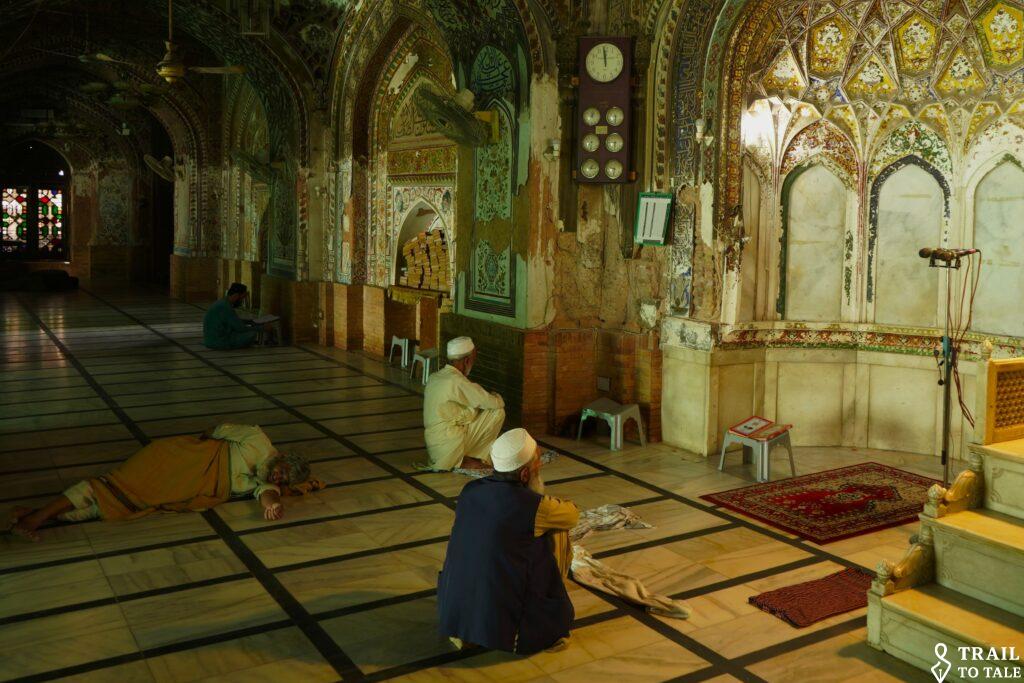
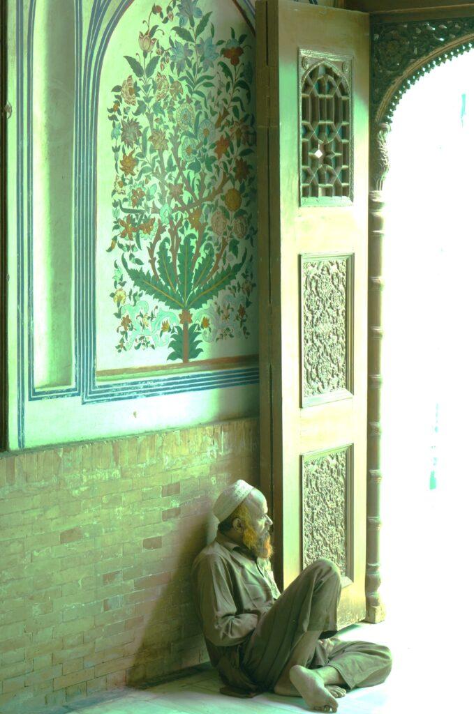
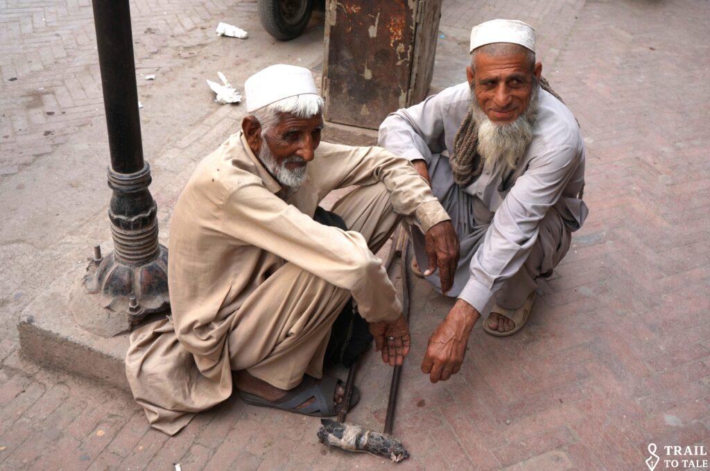
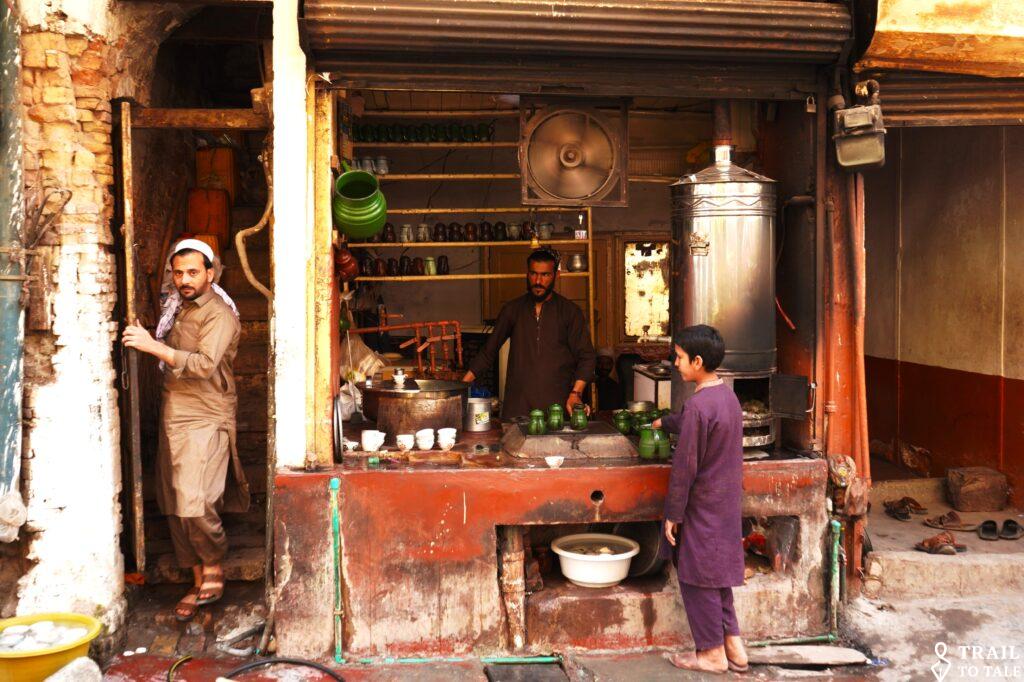
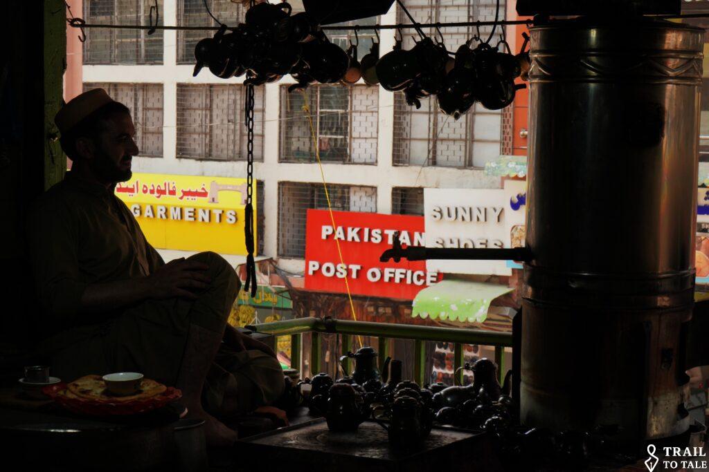
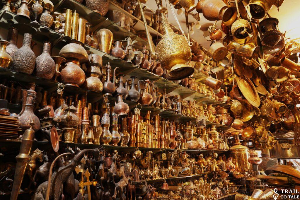


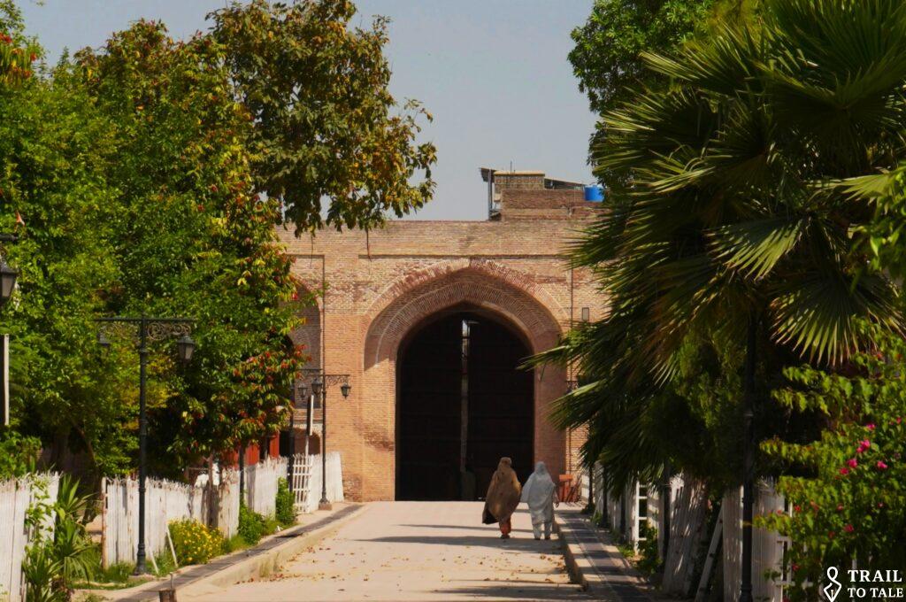
The gate of the historic caravansary must over centuries witness many merchants from near and far.

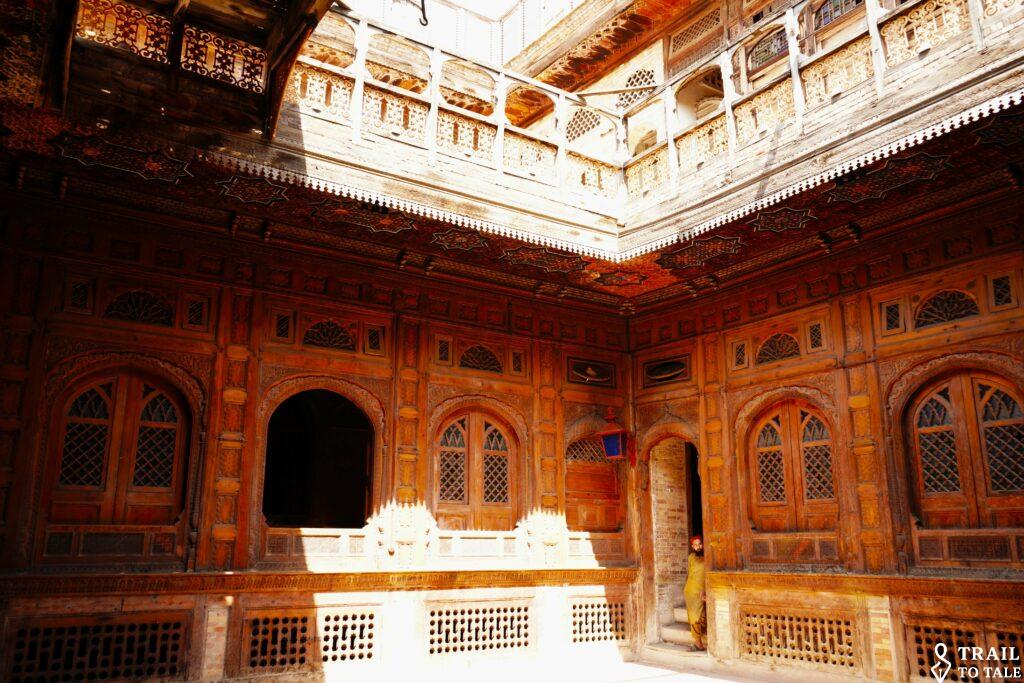
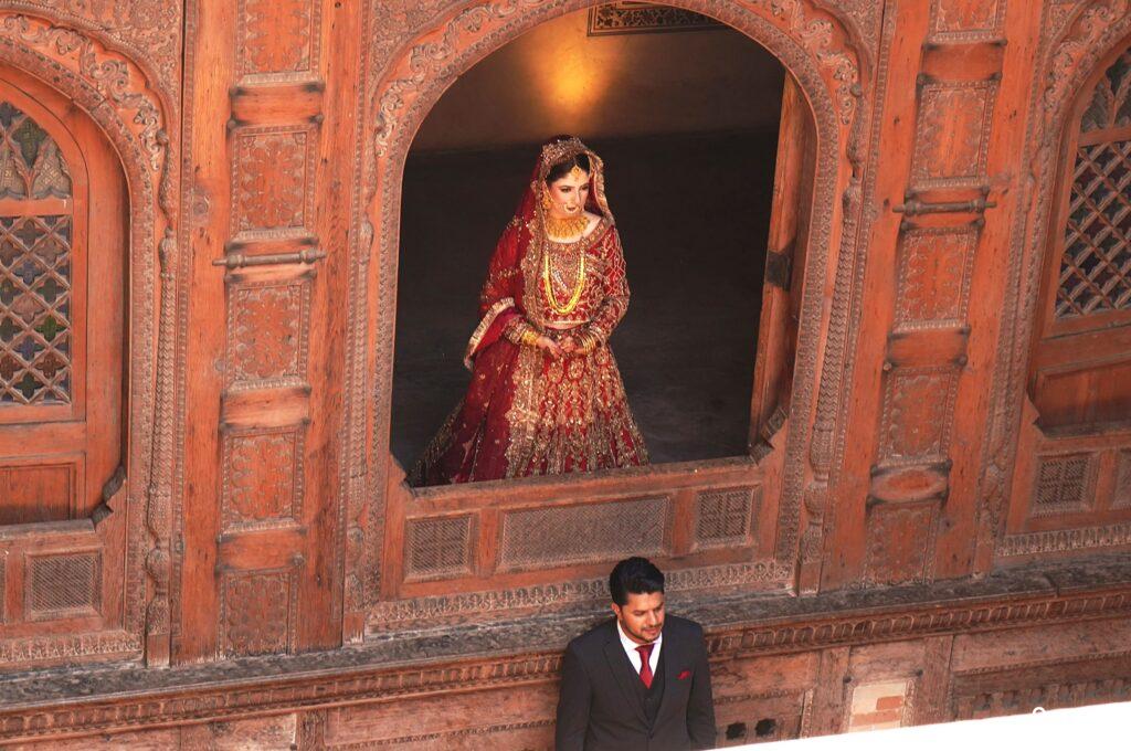
Some of the old buildings beautifully preserved now provide a perfect background for traditional wedding photos.

The Swat Valley, often referred to as the ’Switzerland of the East’ is a region defined by its alpine landscape.
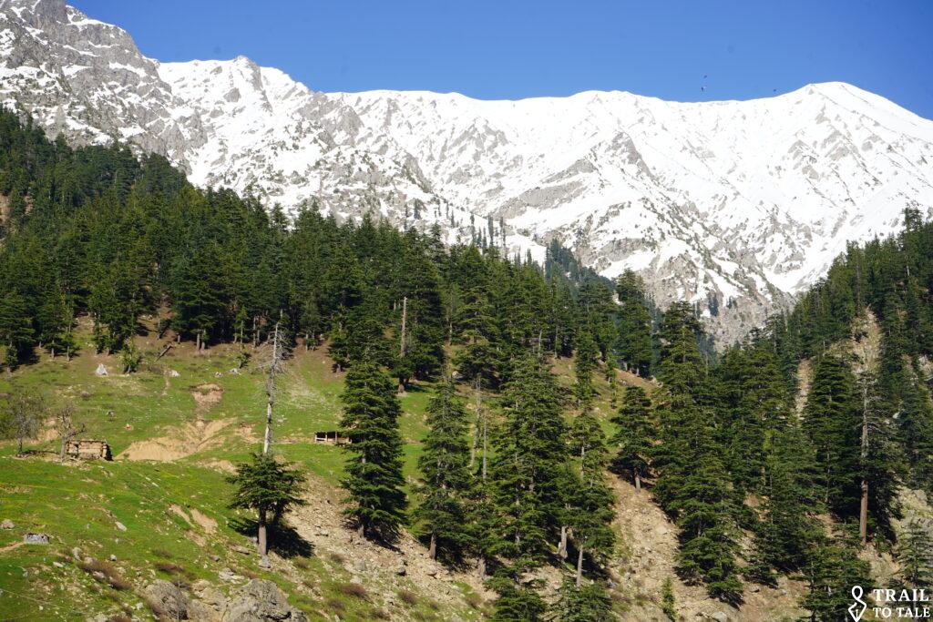
The Swat River is fed by glaciers from the surrounding Hindu Kash mountains. River sand filled in bags and carried to the banks by horsepower.

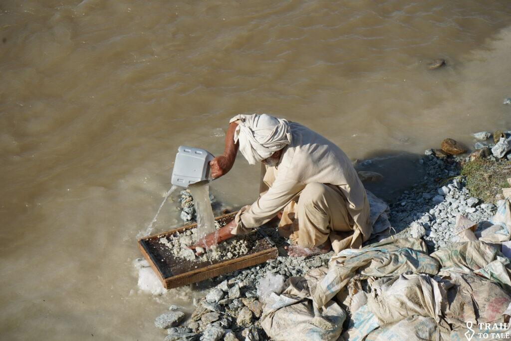
Small-scale gold panning by pouring river sediment and water over the screening tray.
An ordinary day in the Swat Valley, where traditional customs, family life, and the rhythm of the school day unfold side by side.

Historically Swat was the heart of the Ganhara Civilsation and was once the home of 1400 Buddhist monasteries and a major center for pilgrimage and learning. The remains of the Saidu ShariF Stupa and Monastery.
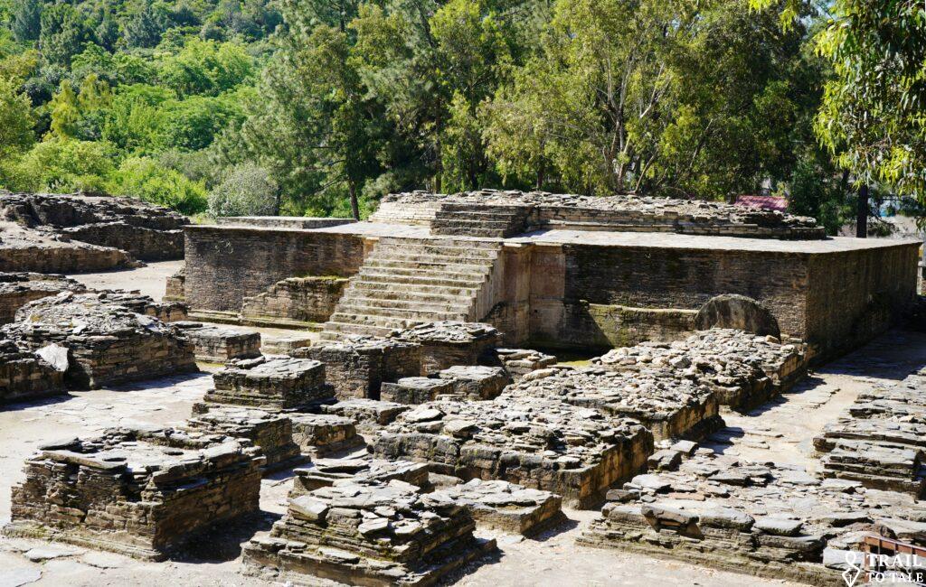

Renovation and preservation work continue, often involving physically demanding manual labor.

The Takht-i-Bahi (“Throne of the Blessed Spring”) Buddhist monastic complex, located in KPK’s Mardan District, dates back to the early 1st century BC and is recognized as a UNESCO World Heritage Site.
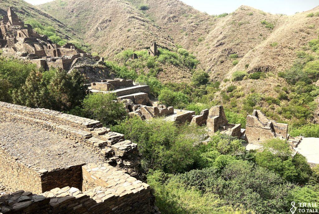
Visiting the site, and being the only tourist present, an all-day escort of eight Special Ranger Force members insisted on accompanying the climb up the 400 steps repeatedly assuring: “We provide the best possible security for our foreign friends.!”

Traveling further north the completion of the 10.4km Lowari tunnel provides a year-round connection which is vital for the people in Chitral avoiding the Lowari Pass. This making the Peshawar and Chitral significantly shorter, less dangerous and allows winter access to Ayum.


Fertile soil and moderate climate make it an agricultural hub, specifically famous for its vegetable crops and fruit orchards.


The Kalash are the country’s smallest ethnoreligious minority, maintaining a unique culture that contrasts sharply with the surrounding regions. Living in remote villages in the Birir-, Rumbur- and the Rumburet Valleys’ of the Chitral District on the eastern side of the mountain ridge bordering Afghanistan, their spirituality remains deeply connected to nature.

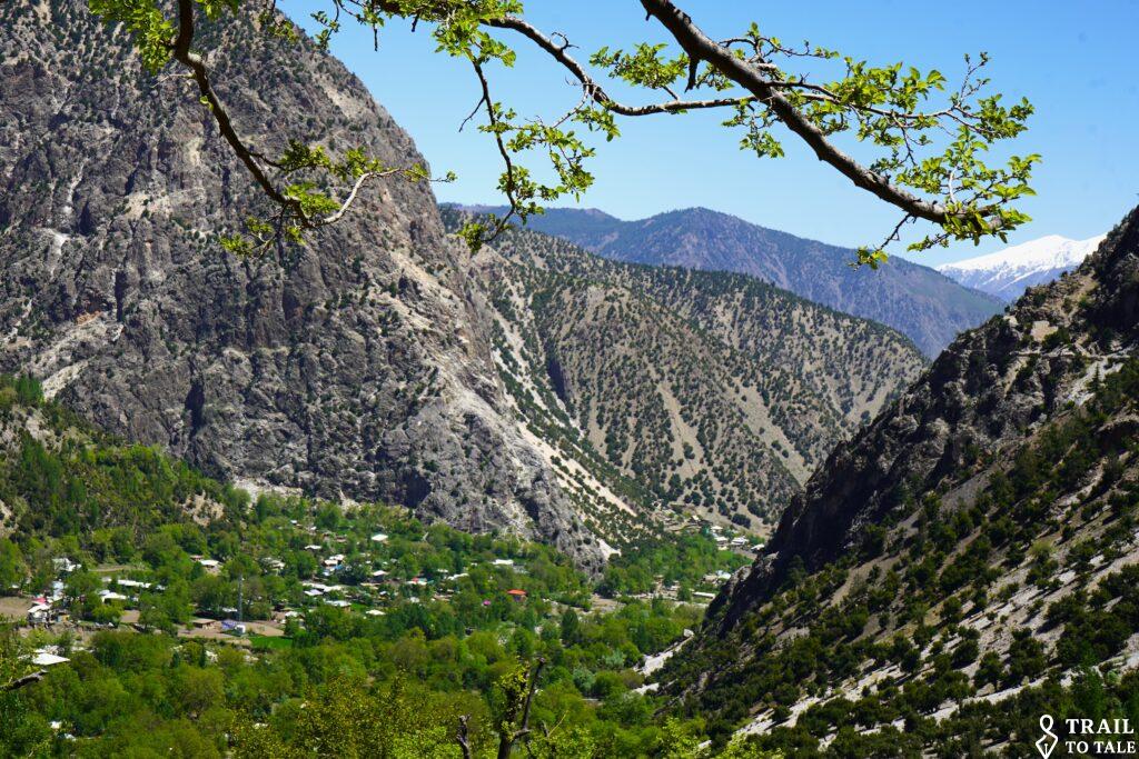
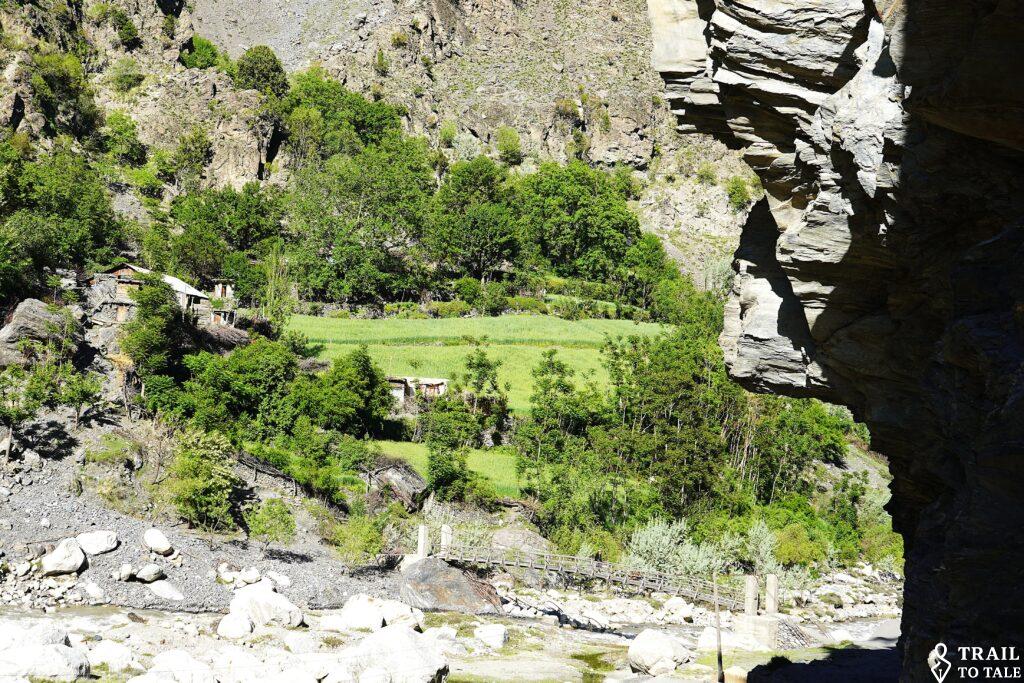
With only 3000 – 4000, the Kalash are considered ‘critically endangered’ by UNESCO, yet they remain one of the most resilient and culturally distinct communities in South Asia.


They are considered the last non-Islamic Indo-Aryan indigenous group in the region and are known for their vibrant traditions, preserve a unique polytheistic religion and traditions that predate Islam
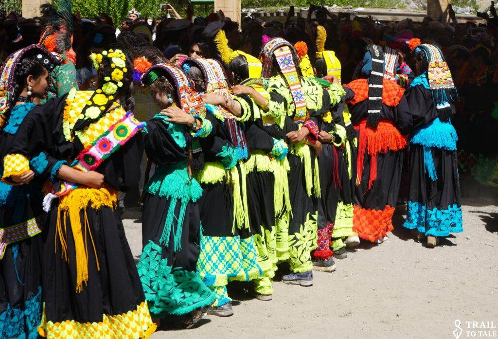
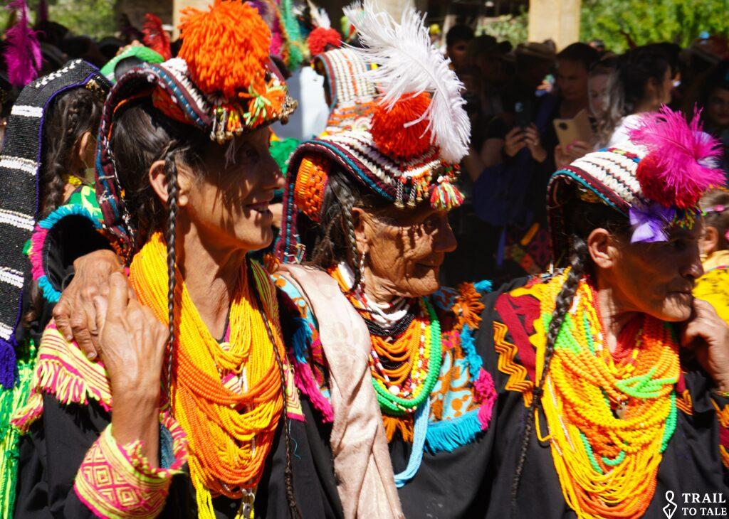
Their famous spring festival, Chilimjusht, features communal dancing music and colorful traditional distinctive embroidered clothing and the drinking of locally produced grape wine.


A ‘popular local legend’ suggests that the Kalash are descendants of soldiers from Alexander the Great’s army. Their fair skin and light-colored eyes have long fueled this theory. Others think it rather reflects the region’s complex, centuries-old population history at the crossroads of Central and South Asia.



The houses with skillful carved timber works.


Women dance to the beat of the men’s drums.



Kalash women traditionally enjoy a relatively high degree of social autonomy, including the right to choose their own husbands and to initiate divorce.


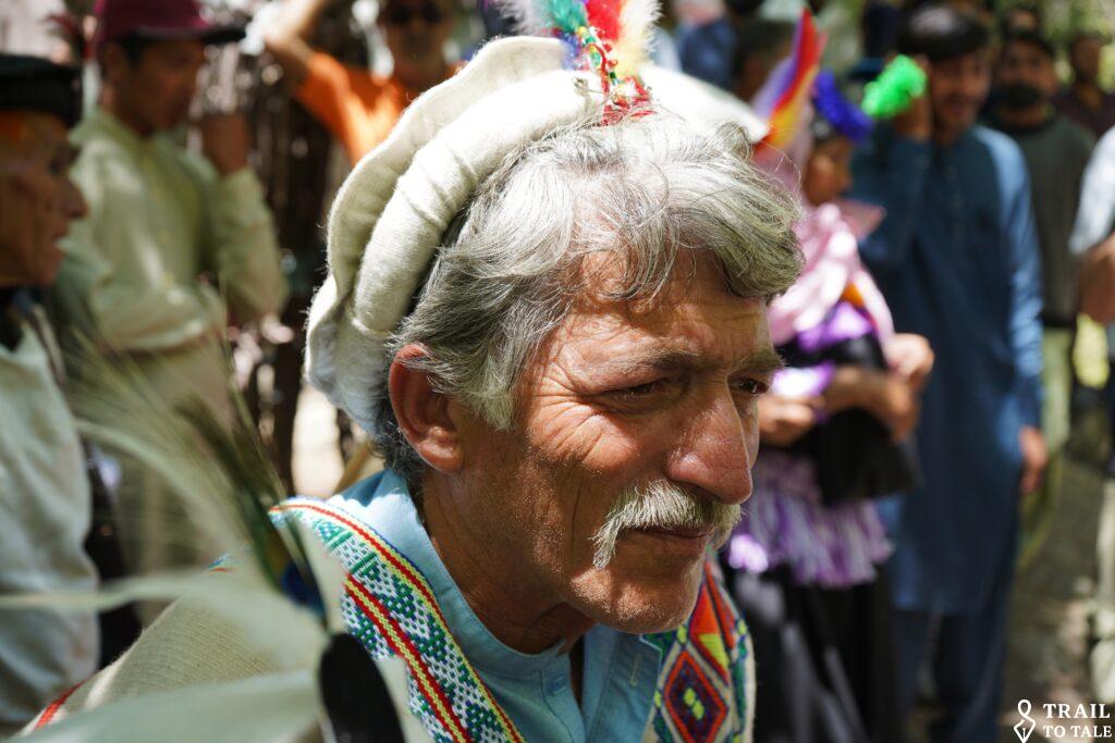


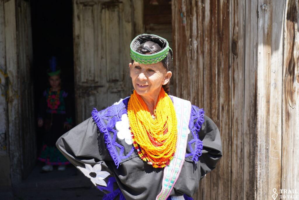
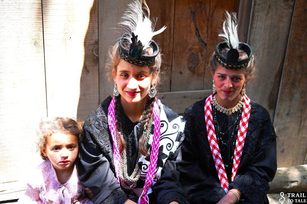
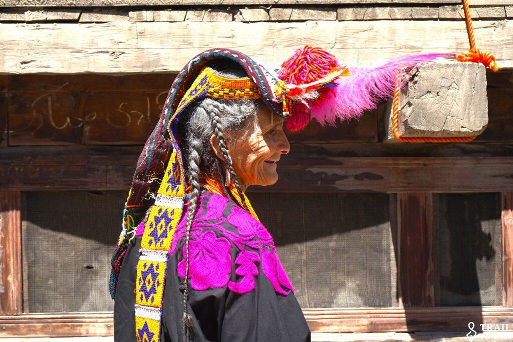
The striking Kalash headdress is handwoven from sheep’s wool. The everyday Shushut is simple yet elegant, decorated with colorful glass or plastic beads, small metals ornaments and bells.


The larger ceremonial, Kupas, worn especially during festivals, is lavishly decorated with cowrie shells, colorful beads, buttons, and metal ornaments. It extends down the wearer’s back and can weigh several kilograms. It is one of the world’s most distinctive examples of ‘traditional indigenous headwear’.

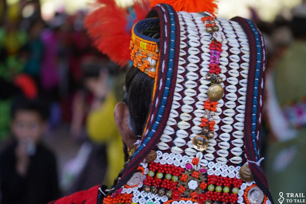


Occasionally feathers enhance the look.
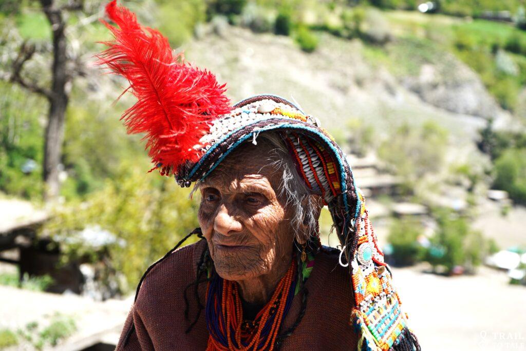


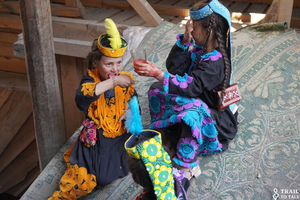
The young ones also participate.

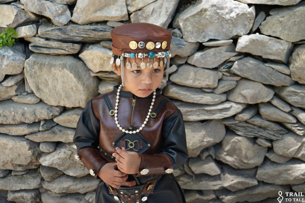
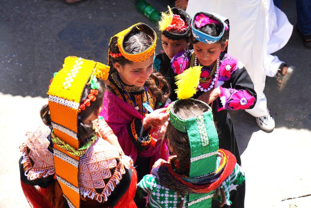

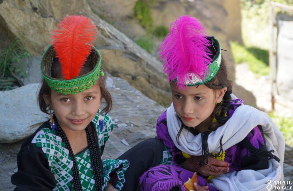
Some enjoy watching from a distance.

For centuries, Chitral linked South Asia, Central Asia, and Afghanistan via high mountain passes, including the Baroghil Pass leading towards the Wakhan Corridor.
Tirich Mir (7,708 m), the highest peak of the Hindu Kush, towers above the Chitral Valley. On clear days its vast glaciated summit dominates the skyline, rising more than 5,000 meters above the valley floor.


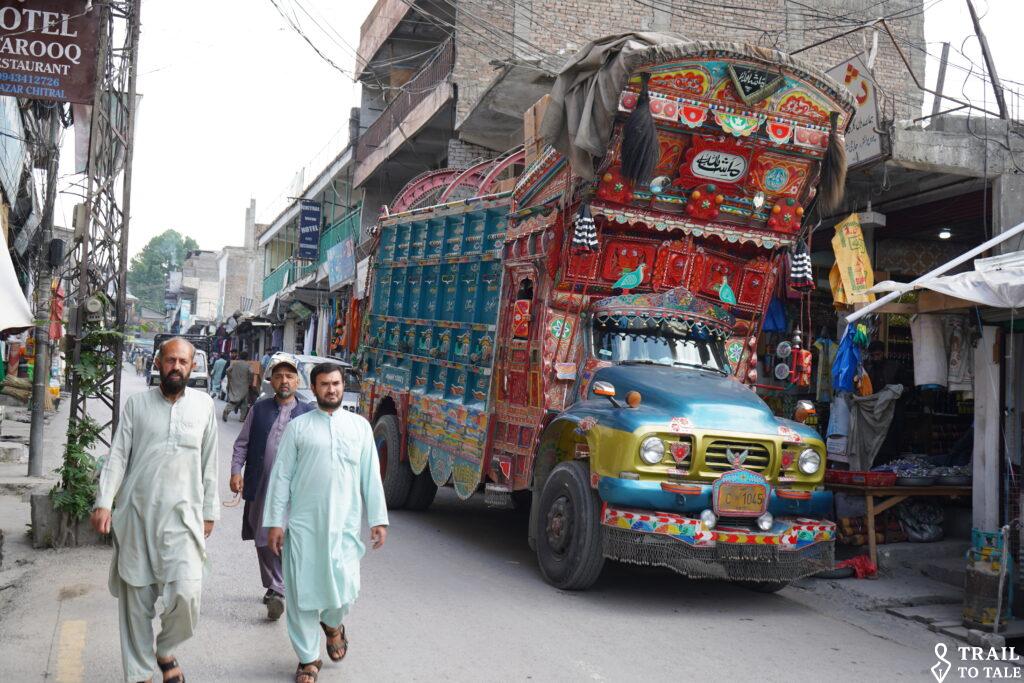
Chitral town is the administrative Center of the Province. The Chitral River flows through the heart of Chitral Town and the entire Chitral Valley. Fed by glaciers of the Hindu Kush, it continues into Afghanistan as the Kunar River before joining the Kabul River near Jalalabad which later flows into the Indus River in Pakistan.


The elegant Shahi Mosque, built in 1924 by Mehtar Shuja ul-Mulk, stands beside Chitral Fort on the banks of the Chitral River. Its white domes and Mughal-inspired architecture make it one of northern Pakistan’s most recognizable landmarks.
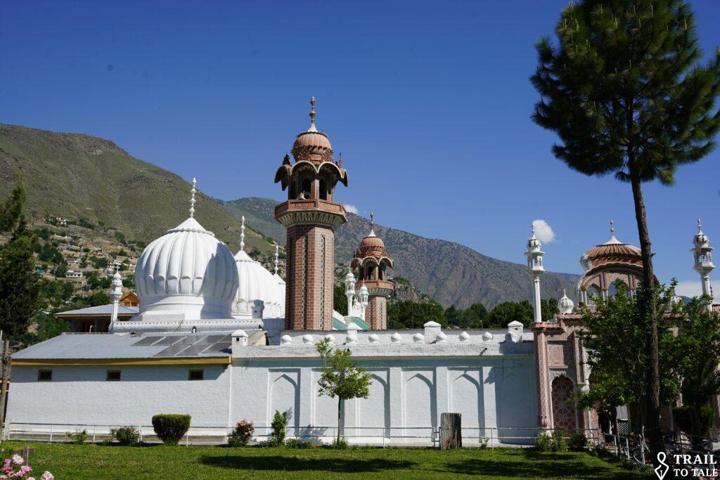
The Mullah also does invite a ‘non-believer.


Like many mosques, it does host a Koran School.


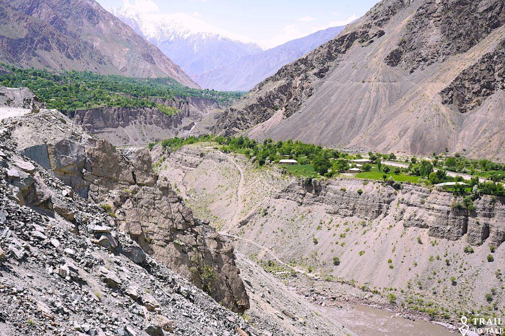
Continue north the Mastuj Valley.
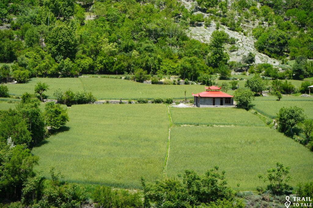


Compared to their western neighbors, here girls are allowed to study till end of high school and continue to an university.


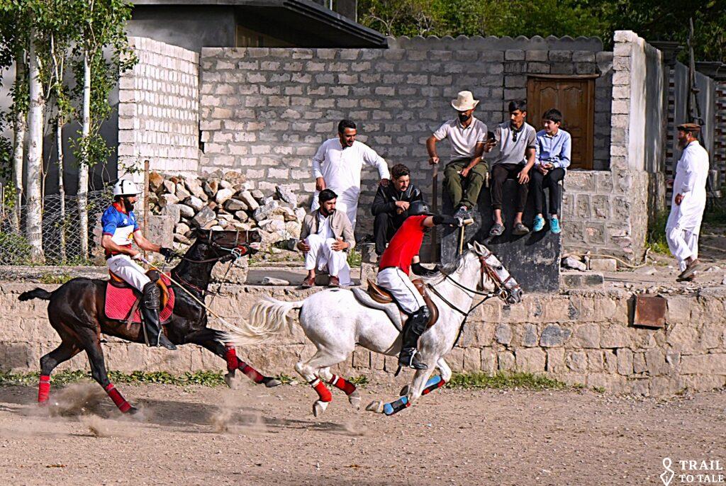
Booni, the principal town of Upper Chitral, about 75 km north of Chitral is home to one of the region’s traditional free-style polo grounds.


Here, polo is played in its oldest form: fast, rugged and deeply woven into the culture of the Hindu Kush.

Many of Chitral’s finest players compete here before representing the district at the legendary Shandur Polo Festival
Continue north the fertile Mastuj Valley toward Mastuj. it gets narrower.


Slowly gaining altitude.


The wider valley becomes a narrow gouge.

A checkpoint of the Pakistan Army Chitral Scouts checkpoint, a paramilitary regiment of the Pakistan Army responsible for guarding the mountainous border with Afghanistan.

and finally leading on to the Shandur Pass.


Besides the Shandur Pass security checkpoint to check the foreigner’s passports and permit, stands a village mosque and madrasa. This village is hosting the world’s highest polo ground around 3,700 m, where the annual Shandur Polo Festival is held every July.

Once over the pass on to lower lands towards Gilgit-Baltistan.


For further info on the way to the north, check this website:
- Destinations: Asia/Pakistan/ 9.1 The North – Where the World’s Three Highest Mountain Ranges meet
- Journal: Asia/Pakistan/ Hunza Valley


Leave a reply
You must be logged in to post a comment.